
What recent atmospheric development has triggered severe weather warnings across Odisha?
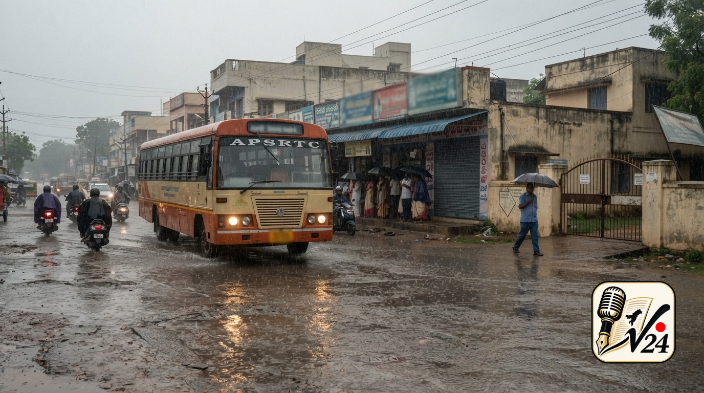
The weather situation in Odisha has escalated following the intensification of a low-pressure system into a deep depression over the region. Meteorologists and regional monitoring centers identified the atmospheric disturbance as it gathered momentum, bringing persistent moisture and heavy cloud cover across several coastal and inland zones. Atmospheric depressions of this magnitude frequently pull in abundant oceanic moisture, resulting in torrential rainfall, localized gale-force winds, and significant sea roughing. As the system deepened, regional meteorological authorities escalated advisory levels to warn administrative bodies and the public about the probability of extreme weather conditions. The primary hazard associated with this deep depression is intense precipitation over a compressed timeframe, creating severe risks of localized urban flooding, flash flooding in river catchments, and waterlogging in low-lying agricultural domains. The rapid buildup of the weather system left emergency planners with a tight window to execute protective measures, prompting instantaneous alerts across regional communication networks.
Which specific districts in Odisha are placed under red alerts due to heavy precipitation risks?
Regional weather agencies issued a red warning alert for four high-risk districts in Odisha that lie directly in the anticipated trajectory of the deep depression's heavy rain bands. A red alert represents the highest level of weather warning in the official meteorological hierarchy, signaling that emergency management authorities and the general public must take immediate action to protect lives and property. While coastal and southern regions of Odisha frequently experience seasonal rain systems, the spatial path of this deep depression concentrated extreme rainfall forecasts over four specific districts. Local district collectors in these flagged areas were instructed to close educational institutions, suspend non-essential public activities, and establish continuous monitoring protocols along major rivers and catchment areas. The red alert status indicates that rainfall totals could reach extreme levels capable of disrupting electrical grids, submerging road networks, and inundating residential neighborhoods. District authorities in the designated areas have activated emergency control rooms operating around the clock to track local rainfall totals and field reports from rural administrative blocks.
How are emergency services executing mass evacuations for vulnerable populations?
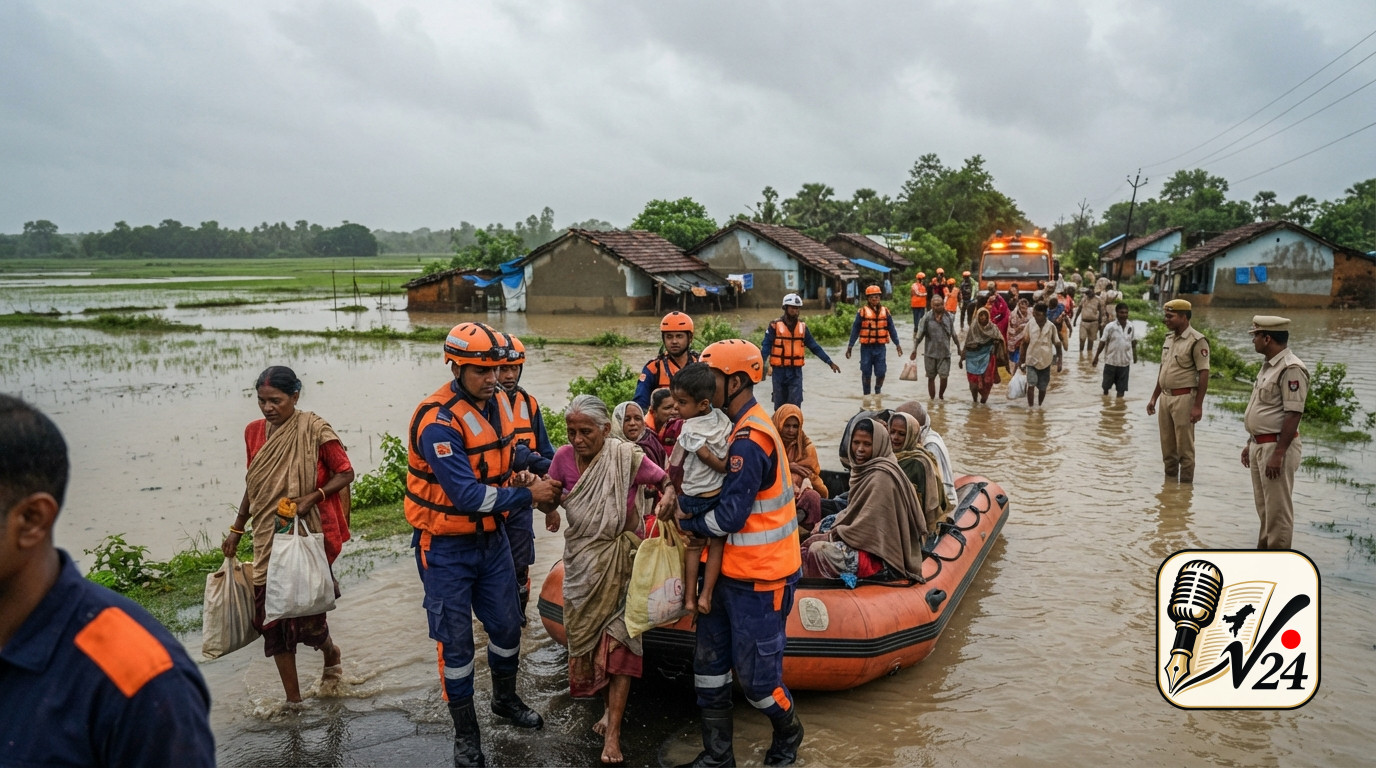
To prevent casualties from rising waters and potential structural collapses, administrative teams initiated widespread relief and relocation operations, successfully moving over 5,000 residents out of high-risk zones. Evacuation operations focused primarily on vulnerable low-lying settlements, informal housing along riverbanks, mud-structure habitations, and coastal communities prone to storm surges or severe waterlogging. Field officers, local revenue officials, and community volunteers conducted door-to-door awareness campaigns and transport mobilization to move families into multi-purpose cyclone and flood shelters. These temporary relief centers were stocked with basic amenities, including emergency power supply, clean drinking water, dry food rations, and preliminary medical kits. Priority during the evacuation process was given to elderly residents, pregnant women, children, and individuals with disabilities. Officials emphasized that pre-emptive evacuations remain the most effective strategy to safeguard lives before floodwaters submerge roads and cut off ground access to isolated hamlets.
Who is coordinating ground-level disaster response and relief operations in affected zones?
A coordinated coalition of national and state disaster management bodies has been deployed to lead on-the-ground rescue, clearance, and support operations across the red-alert districts. Specialized disaster response forces, including state disaster rapid action units and national response personnel, were pre-positioned in vulnerable pockets alongside local fire and emergency services. These teams are equipped with inflatable power boats, high-capacity water pumps, tree-cutting chainsaws, satellite communications equipment, and life-saving gear. Ground personnel work directly under the oversight of district emergency operation centers and local administrators to clear downed trees, maintain clear drainage channels, and execute water rescues if localized rivers breach their banks. In addition to specialized rescue personnel, local health department teams and civil defense volunteers have been mobilized to handle sanitation, prevent post-flood waterborne diseases, and ensure continuous medical support at temporary evacuation centers.
Why do meteorologists and authorities fear severe deluge conditions across eastern India?
The heightened concern over potential deluge conditions stems from the slow movement and rich moisture content of the deep depression system. When a deep depression lingers or moves sluggishly across land areas, it delivers sustained torrential downpours onto soil that may already be saturated from seasonal rains. This rapid accumulation over short durations exhausts local drainage capacities, causing small rivers, tributaries, and drainage canals to overflow their banks. In urban and semi-urban centers, heavy surface runoff quickly converts roads into streams, swamping critical infrastructure such as electrical substations, transportation hubs, and healthcare facilities. In rural districts, sudden deluge conditions threaten standing crops, risk breaching earth embankments, and isolate remote villages due to submerged culverts and washed-out bridges. Consequently, disaster management authorities prioritize early alerts and swift community relocations to minimize human exposure to sudden flood events.
Where are emergency response teams prioritizing resource deployment and monitoring?
Resource deployment is heavily concentrated in the low-lying coastal belts, river basins, and landslide-prone elevated zones within the four red-alert districts. Disaster management authorities mapped out critical vulnerable nodes where past weather events caused severe waterlogging or structural isolation. Staging areas have been set up near key river junctions, major estuaries, and densely populated low-lying urban pockets. Search and rescue vehicles, amphibious crafts, and heavy earth-moving equipment are strategically stationed at central block headquarters to allow rapid movement to any compromised neighborhood. Furthermore, emergency response monitoring extends to critical civil infrastructure, including major dam reservoirs and barrage structures across the state. Water resource engineers are maintaining continuous surveillance of reservoir inflow rates to manage controlled water releases and prevent compounding downstream flooding while the deep depression continues to drop high volumes of rain across catchments.
When do weather authorities anticipate changes in system intensity and regional impacts?
Meteorological tracking of atmospheric depressions like this system and potential tropical developments such as Cyclone Arnab relies on continuous satellite monitoring, radar networks, and automated weather stations. Standard forecasting procedures require updating track trajectories and intensity classifications every three to six hours. As deep depressions make landfall or interact with landmasses, frictional resistance and reduced oceanic thermal energy typically begin to weaken the system's wind structure over time. However, even as atmospheric pressure rises and maximum sustained winds diminish, the residual moisture vortex can continue to yield localized heavy rainfall for 24 to 48 hours post-landfall. Weather agencies advise local administration and residents to maintain high vigilance until official bulletins confirm that the system has dissipated into a well-marked low-pressure area and rainfall intensity drops below danger thresholds.
Sources
- The Hindu: Red warning alert issued for 4 Odisha districs as disaster response forces in place for deep depression
- Telegraph India: Odisha: Deep depression triggers deluge fears, 5,000 evacuated as four districts face red alert
- Vajiram & Ravi: Cyclone Arnab 2026, Location, Naming, Tracker, Latest Updates
More from National