
What meteorological system is currently driving severe weather across Andhra Pradesh?
A deep depression moving inland is the primary atmospheric driver responsible for intense weather conditions across Andhra Pradesh and adjacent eastern coastal regions. As this low-pressure system advances from the sea toward the interior landmass, it pulls in significant moisture, triggering extreme rainfall and localized tempests. Weather monitoring trackers report that this deep depression has significantly destabilized atmospheric conditions in the eastern part of India. The movement of this weather system inland has concentrated persistent, heavy downpours over several coastal and interior pockets. Unlike localized thunderstorms that clear quickly, a deep depression of this scale maintains sustained cloud cover and protracted precipitation over prolonged periods. This dynamic has resulted in heavy rain alerts and severe surface runoff throughout multiple eastern districts. As the system continues its trajectory inland, meteorologists are keeping a close watch on precipitation totals and wind speeds, noting that the sheer volume of moisture carried by the depression is causing prolonged stress on regional drainage basins and public infrastructure.
Why have authorities closed schools across six districts in Andhra Pradesh?
Educational institutions across six districts in Andhra Pradesh have been instructed to remain closed today due to safety concerns arising from relentless heavy rainfall and localized flooding. The decision was taken by district administrations as a protective measure to prevent students, teaching staff, and school personnel from venturing out onto hazardous, inundated roads. With a deep depression bringing extreme precipitation across the region, localized flooding has made commute routes unpredictable and dangerous. Fast-moving water, submersed causeways, and reduced visibility present serious safety hazards for school buses, two-wheelers, and pedestrians. By announcing school closures across the six affected districts, local authorities aim to minimize non-essential travel, reduce overall congestion on strained road networks, and ensure student safety until municipal drainage systems clear pooled water and emergency teams evaluate rural and urban transport corridors.
How is the swelling of streams and rivulets disrupting road transport in North Andhra?
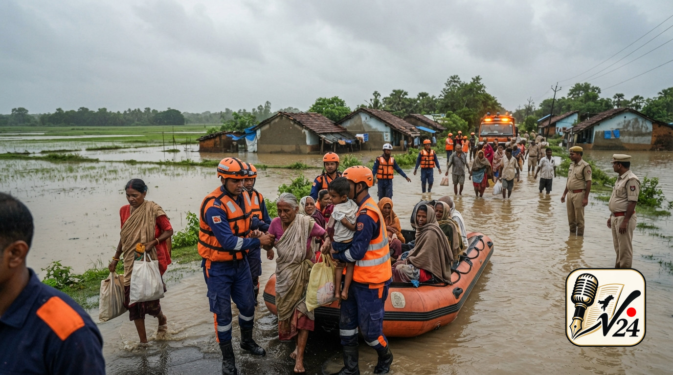
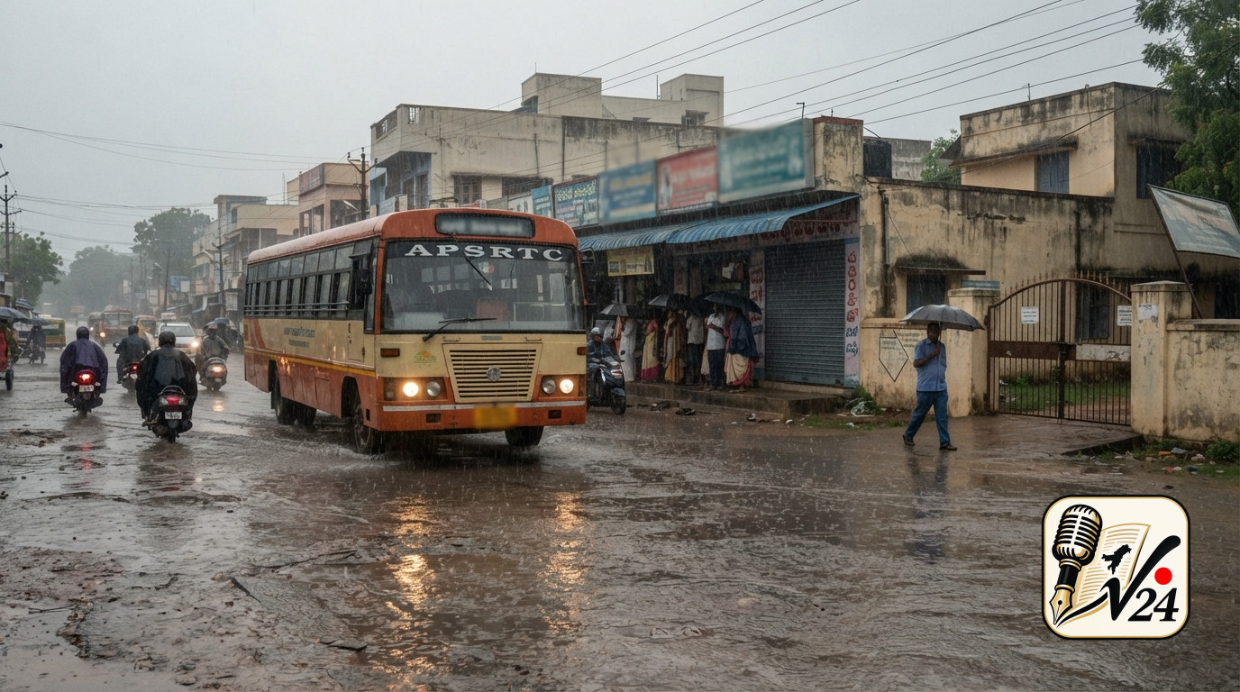
In North Andhra, the heavy downpours brought by the deep depression have caused local streams, rivulets, and drainage channels to swell rapidly past their normal capacity. As water overflows from these natural and artificial channels onto major roadways and low-lying causeways, vehicular movement has come to a near total halt in several locations. Motorists attempting to traverse these flooded corridors have found themselves stranded as water levels rise unexpectedly across key transit routes. Fast-flowing stream waters across roads create severe hazards, making it impossible for drivers to gauge the depth of the water or detect under-surface road erosion and washed-away pavement. Consequently, long queues of private vehicles, commercial trucks, and public transport buses have formed along rural and semi-urban arterial roads, waiting for floodwaters to recede before proceeding safely.
What contrasting weather conditions are being tracked across different regions of India?
While eastern regions of India, particularly Andhra Pradesh, are experiencing extreme rainfall and stormy conditions driven by the inland movement of the deep depression, meteorologists are tracking a starkly contrasting weather pattern in western parts of the country. According to national weather trackers, western regions are facing intense heat and elevated temperatures at the same time the eastern belt is inundated by heavy precipitation. This dual atmospheric phenomenon highlights the broad meteorological diversity across the subcontinent. While the eastern coast copes with swelling rivulets, saturated soil, severe cloud cover, and localized flooding, western states are grappling with dry atmospheric conditions and heat stress. The contrast underscores how the deep depression concentrates moisture and heavy precipitation along its immediate track in the east, while leaving western regions under the influence of warmer, dryer air masses.
Where are the primary areas facing waterlogging and stranded motorists due to heavy rainfall?
The primary areas impacted by heavy waterlogging, overflowing channels, and stranded commuter traffic are concentrated in North Andhra and six designated districts across Andhra Pradesh where educational institutions have been closed. In North Andhra, rural stream crossings, low-lying bridges, and coastal road corridors have seen the most immediate disruption as localized runoff fills small rivulets beyond capacity. In these districts, the convergence of intense coastal cloudbursts and inland moisture transport has turned low-lying roadways into temporary water channels. Localized low pockets in both semi-urban centers and countryside roadways have accumulated deep standing water, isolating several villages and disrupting routine inter-district bus services. Authorities are identifying critical bottleneck points across these locations to direct monitoring crews and clear clogged drainage paths wherever safe to do so.
Who is impacted most directly by the current deep depression and intense rainfall?
The most directly impacted populations include school students, daily commuters, long-distance motorists, and residents living near swelling streams and low-lying drainage basins in North Andhra and surrounding districts. Students and academic staff across six districts have faced sudden schedule disruptions following mandatory school closure orders issued by regional administrations. Meanwhile, long-distance truck drivers, public bus passengers, and local motorists have experienced significant delays and safety risks after becoming stranded along waterlogged highways and overflowing causeways. Additionally, agricultural workers and rural communities situated alongside swelling rivulets are closely monitoring water levels, as rising streams threaten localized fields and low-lying residential structures. Emergency response crews and transit workers are also working under challenging conditions to maintain essential services and prevent accidents along inundated transit routes.
When do weather trackers expect atmospheric conditions to evolve as the depression moves inland?
Weather tracking reports indicate that atmospheric conditions will continue to evolve as the deep depression progresses further inland away from the coast. Typically, as deep depressions travel further over land masses, they gradually lose access to the abundant maritime moisture that fuels their intensity, eventually weakening into conventional low-pressure systems. However, during the initial phase of inland transition, the system continues to dump massive quantities of stored moisture, maintaining heavy to extreme rainfall over adjacent districts for 24 to 48 hours. Local administrative updates and daily weather trackers suggest that high precipitation levels, swollen waterways, and localized travel disruptions will persist until the system dissipates or moves into neighboring meteorological zones, after which floodwaters are expected to gradually recede from stranded roadways.
How are local authorities managing emergency responses and public safety advisories?
District administrations and emergency management teams across Andhra Pradesh are executing coordinated safety measures to handle the impacts of the deep depression. Measures include issuing proactive school closure notices in six high-risk districts, deploying personnel to monitor swelling streams in North Andhra, and erecting warning barricades near flooded causeways to prevent motorists from attempting hazardous crossings. Local officials are urging commuters to avoid traveling through flooded roads and to check real-time traffic updates before venturing onto major routes. Disaster management protocols emphasize maintaining vigilant oversight along vulnerable waterways, clearing debris from drainage outlets, and keeping rescue teams on standby to assist stranded travellers or residents in low-lying habitats if water levels rise further.
Sources
More from National